


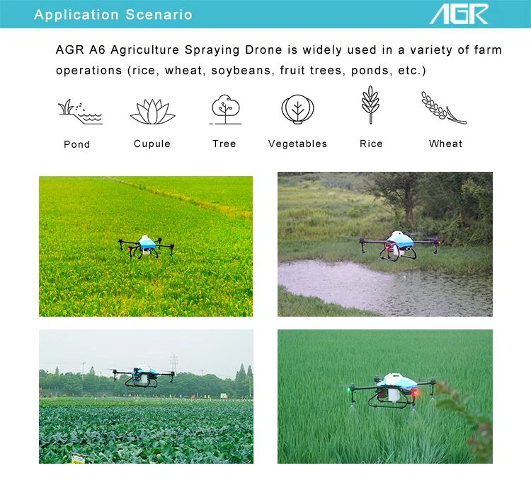
Product Application
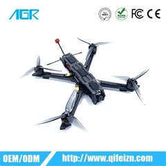
* Small Compact Size AGR A6 2020 Model Agricultural Drone Sprayer GPS made by AGR R&D Team.
* Compact Body Size, easy to take, stable and durable.
* Agricultural Drone Sprayer GPS Equipped with FPV camera, support AB Point Flight, Fully Autonomous Mode, Manual Mode.
* A6 2020 also support AGR intelligent APP 2.0 and agricultural Plant Protection Platform.

Model | A6 2020 |
Motor Type | Brushless Motor X 4 |
Hourly Operating Area | 1.33 - 4 Hectare |
Operation Area per Tank | 0.4 Hectare (15L/Hectare) |
Droplet Size | 80 - 130μm |
Flow Rate | 1L/Min - 1.8L/Min |
Spray Width | 2 - 3.5m |
Battery Type | Lithium-ion |
Maximum Attitude | 30m |
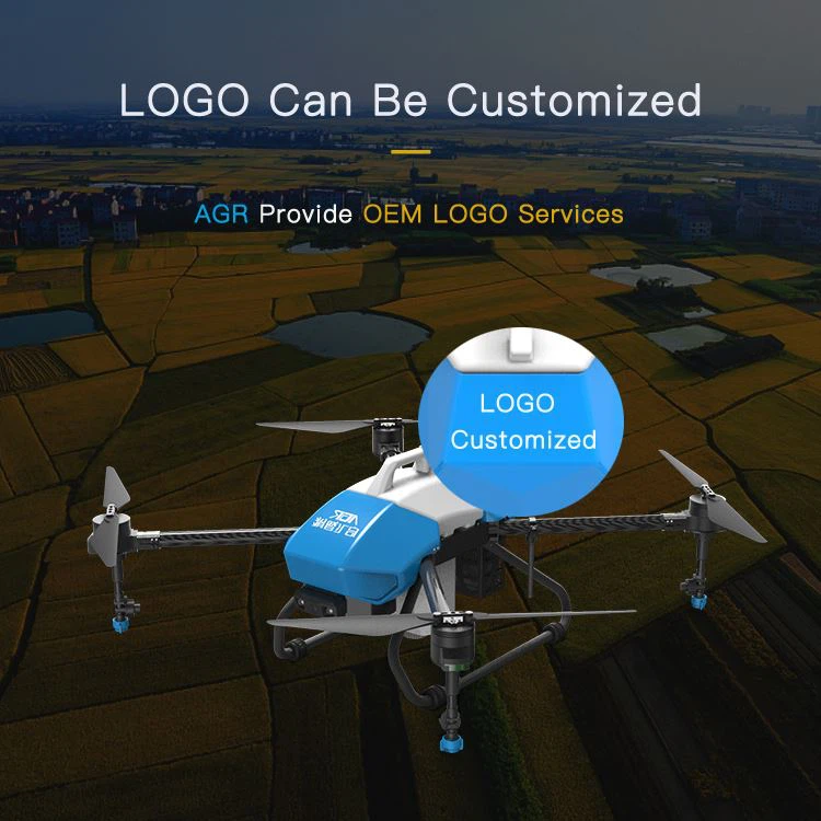
Cover Finshing | Light Blue /Blue/Red/Grey/White/Customized |
Full Loading Weight | 15.6KG |
Product Size | 883mm×874mm×406mm |
Package Dimension | 970mm×970mm×300mm |
Aircraft Weight | 7.1KG |


Tree and land mapping
As well as the disease control aspect, orchard fruit growers can benefit from reports on tree and row spacing with accurate calculations of canopy coverage. The same applies to forestry and timber production where Agricultural Drone Sprayer GPS can play an important role in accessing remote sites on terrain that would otherwise be difficult to cover.
The ability to cover large ground areas is a major benefit for mapping generally. Hundreds of hectares can be mapped in a day with the most sophisticated systems accurately pinpointing changes in terrain and boundary features to within 10cm. The data captured then creates a 3D computer model to highlight ground features and any changes that may have occurred. Agricultural Drone Sprayer GPS
The information can be used to give area measurements for administration purposes or fed into machinery software to help the operator avoid hazards such as electric cables, flooded areas, changes in water courses, or drainage hardware. The drone has a significant advantage over a more time-consuming ground-based system which would involve travelling to, and moving around, the sites and logging GPS co-ordinates.


Hot Tags: agricultural drone sprayer gps, China, manufacturers, suppliers, factory, customized, wholesale


